Dobrinj
Island of Krk - Geography
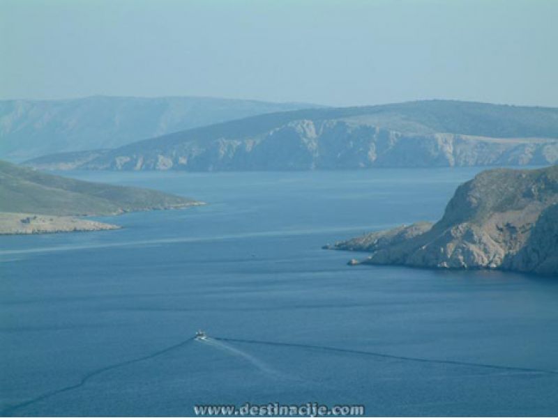
The Island of Krk is in the Bay of Kvarner or Quarnero. It is the biggest island in the Adriatic, with an area of 409.9 square kilometres. The highest peak is Obzova, at 569 m. There are some twenty little islands, islets, rocks and reefs around the main island: Prvić, Galun, Zec, Plavnik, Kormati, Košljun and Sv. Marko (St Mark’s). The population of the island, at the last count, was 16,402, distributed among 68 settlements.
The relief is of the karst or limestone variety, with caves and caverns (Biserujka near Dobrinj), with sinkholes and dolines. The central part of the island is occupied by fertile fields called, Omišalj, Dobrinj, Vrbnik and Baška poljes.
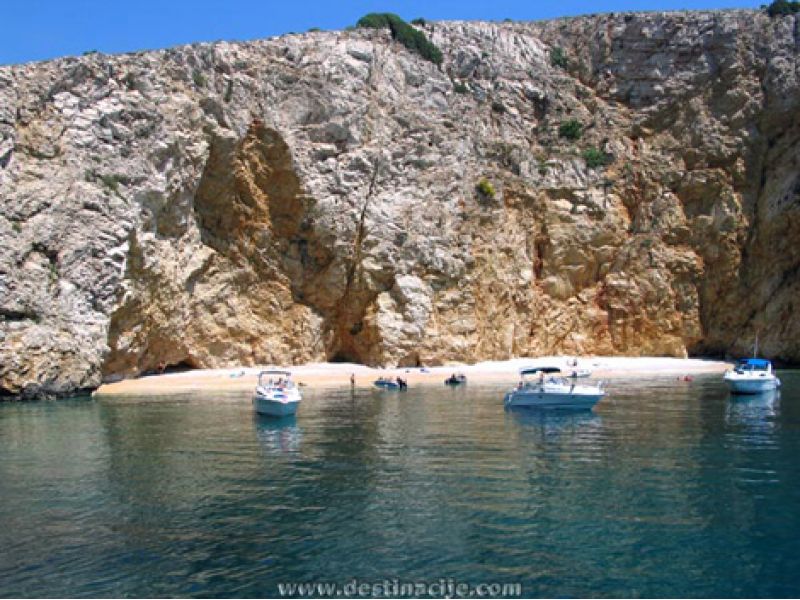
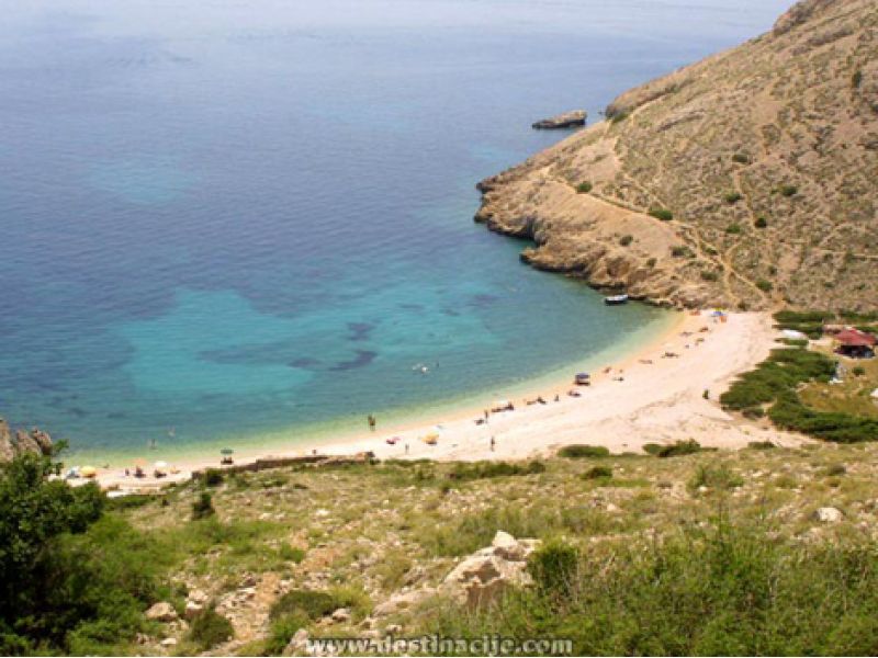
The coast is highly indented, with a great many bays, coves and naturally pebbly beaches. The biggest of the bays are Soline (with its medicinal mud) and Puntarska Draga.
Climate: The island boasts a pleasant and mild Mediterranean climate. The average summer air temperature is 22.8°C, and the sea water temperature is 23 - 25°C.The main winds come from the north-east, the south and the west - the bora, sirocco and maestral. In terms of insolation, Krk is one of the most favoured parts of Europe, with over 2,500 hours of sun a year.
Water features: There are two lakes on the island, called Jezero and Ponikva, and three rivers: the Veli or Dobrinja Brook, the Vretenica and the Vela Rika.
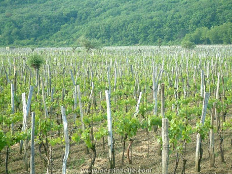
Plant life: In the central and western part of the island there are predominantly woods, along with cultivated Mediterranean fruit and vegetables, vineyards and olive groves. Northern and southern Krk are given over to stony areas and rough pasture land.
Forest reserves: There are Quercus ilex, or holm or evergreen oak, at Glavotok and on the little island of Košljun.
Bird sanctuaries: The island of Prvić and the north east steep slopes of the coast, where the griffon vulture resides (Gyps fulvus Habl).
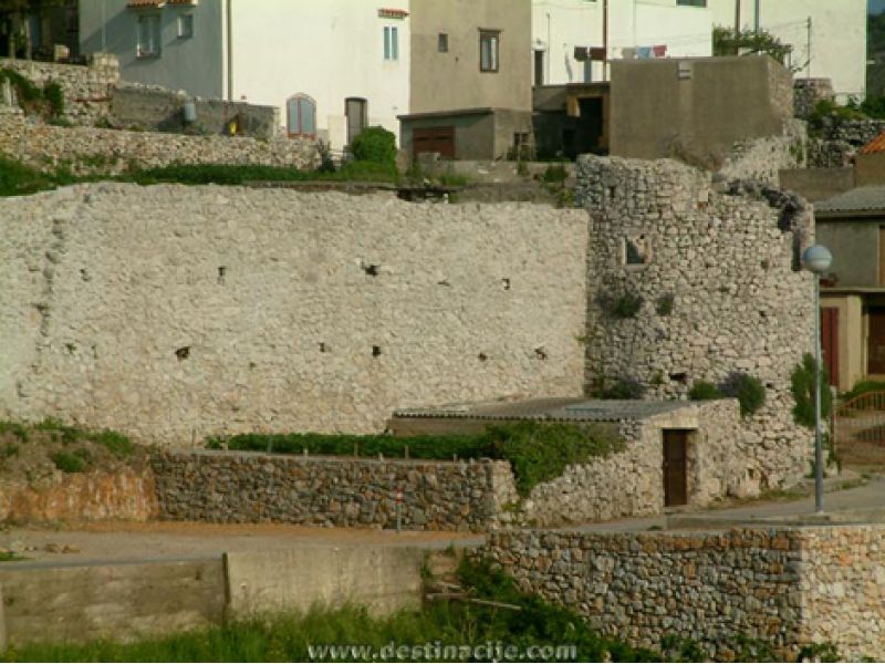
A particular feature of the Krk landscape consists of the thick drystone walls or gromače, and the shepherds’ stone-built folds on the plateau area above the Baška valley.
Care about the preservation and conservation of the environment is ongoing and systematic. Proof of this is given by the two blue pennants in the Punat Marina, the Big Beach at Baška, auto camp Ježavac, Lukobran beach, FKK Politin and Koralj beach.
Photo Gallery
Island of Krk - Visit
OMIŠALJ
Omišalj stands on Vela stena, a cliff 85 metres above sea level, dominating the almost three kilometre long Omišalj Bay. It is the first settlement on the island after Krk Bridge (2 km back), and Rijeka Airport is also in the vicinity.
NJIVICE
A settlement on the north west part of the island (10 km south of Krk Bridge), located in the sheltered bay called Beli Kamik. Once a small fishing village, it is today one of the most attractive holiday making centres on the island.
MALINSKA
In a wide bay on the north west coast of the island, 15 km south of Krk Bridge. It is the centre of the Dubašnice area, which was named after the luxuriant oak forests (dub being a Slavonic root for oak).
PORAT - VANTAČIĆI
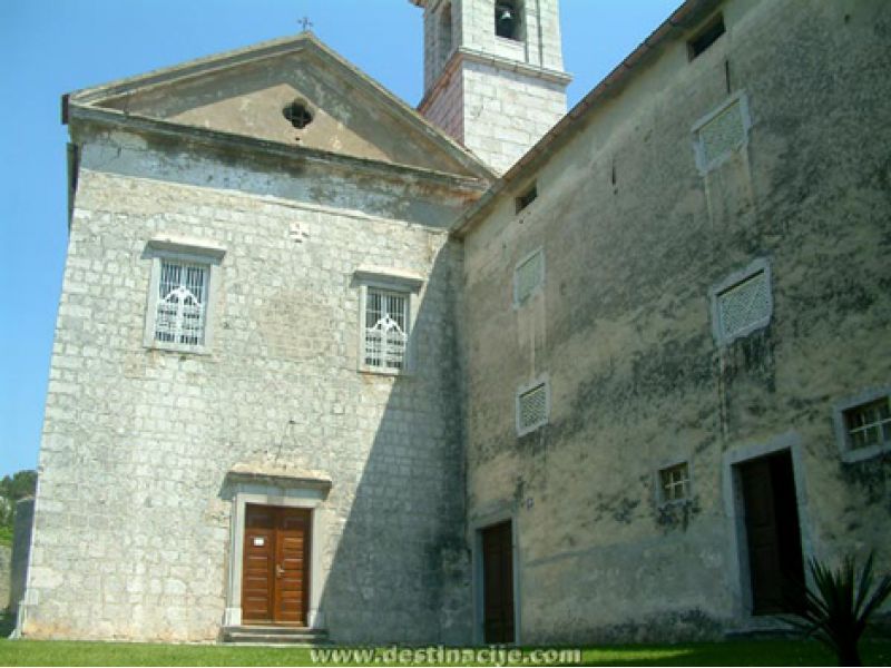
Porat-Vantačići (3 km from Malinska) has a Third Order Franciscan monastery and the St Mary Magdalene Church from 1500.
VRBNIK
This spot lies in the south east of the island and is 37 km from Krk Bridge. It stands on a 48 metre high cliff over the sea. It is a wine-growing area and famed for the local wine called Vrbnička žlahtina.
RISIKA
A smallish settlement 6 km north west of Vrbnik, with a sandy beach in Sv. Marko Bay.
KRK
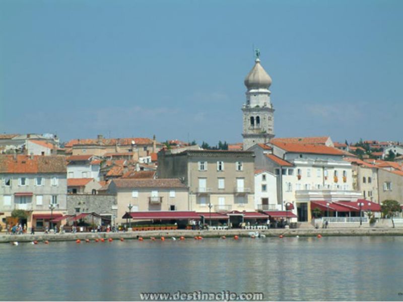
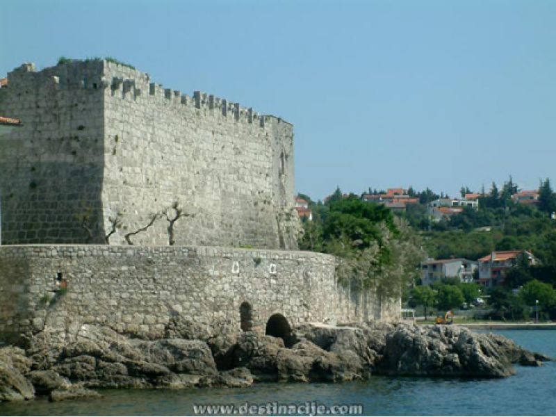
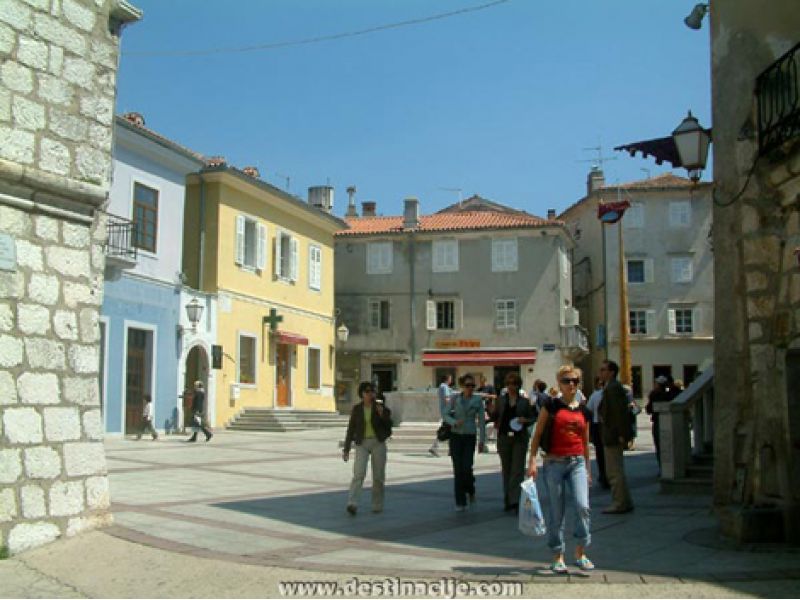
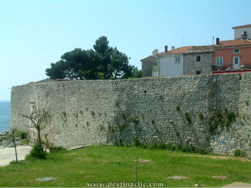
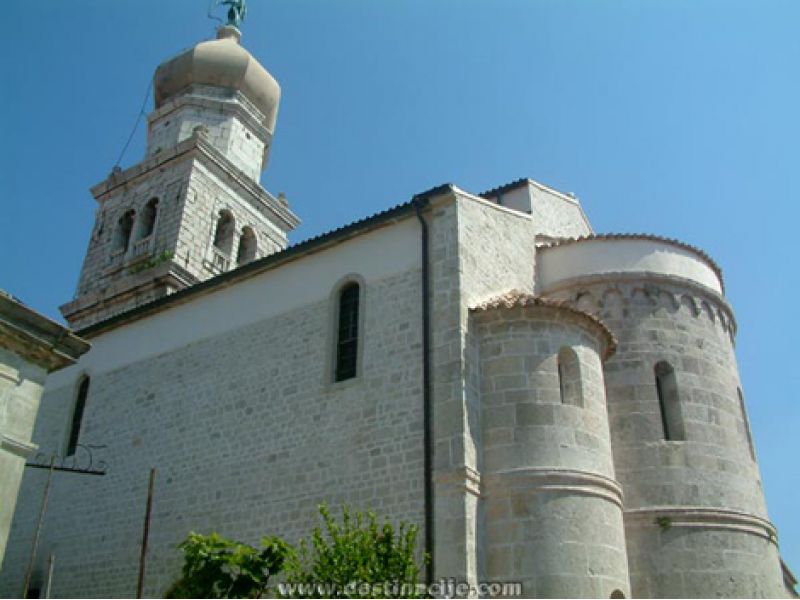
A city and port on the western side of the island, 25 kilometres from Krk Bridge. A one-time Roman municipality and centre of the Frankopans, the dukes of Krk. This is the administrative, political, economic and religious centre of the island.
GLAVOTOK
A cape just opposite the island of Cres, 17 km north west of Krk. A forest of holm oak (1 hectare) is a forest vegetation reserve. By the Church of the Immaculate Conception (1277), a Third Order Franciscan monastery was built in the 15th century.
PINEZIĆI
A village 12 km north west of Krk town. Once a fishing village, today it has developed into a holidaymaking spot.
KORNIĆ
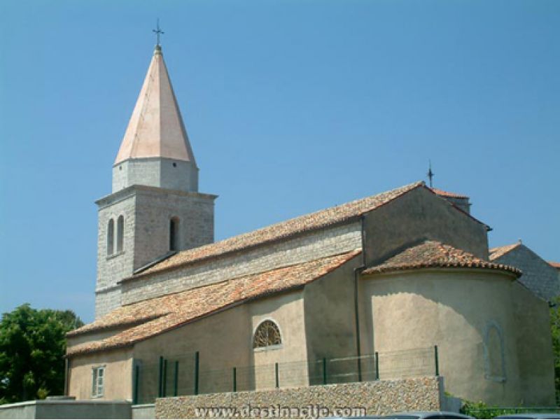
A smallish settlement 7 kilometres away from Krk, with an interesting rural architecture including the Parish Church of St James (Jakov) of the 19th century.
STARA BAŠKA
A fishing village 10 kilometres south of Punat. Alongside its pebbly beach, its greatest value lies in the unspoiled nature, with its terraced gromače and stone-built sheep folds, its stone desert and cliffs, the habitat for medicinal and aromatic herbs.
BAŠKA
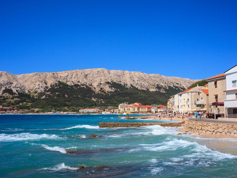
Baška is at the extreme south east end of the island, 43 from Krk Bridge. A settlement of an interesting maritime architecture, it stretches along the almost 2 kilometre long strand, reckoned one of the world’s finest beaches.
DRAGA BAŠĆANSKA
In the immediate vicinity of Baška (4 kilometers). The 45th parallel goes through the settlement.
BATOMALJ
This lies in the Baška valley. A church on an eminence is a well-known Marian shrine, Our Lady of Gorica.
JURANDVOR
This is located in fertile Baška polje (2 km north of Baška). It is famed in Croatian cultural history for the ancient stone-tablet with its Glagolitic inscription (ca 1100) that was found in the Early Romanesque St Lucy’s Church.
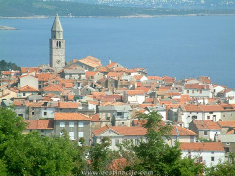
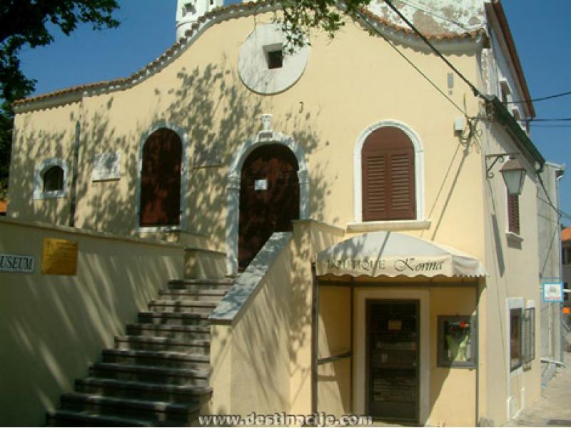
DOBRINJ
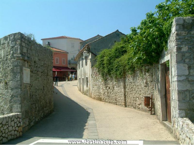
Dobrinj lies at the north eastern end of the island, some 21 kilometres from Krk Bridge, and is the only centre in the island that is not located alongside the sea. It is first mentioned in a Glagolitic script written deed of gift by the famous Dragoslav, dated 1 January 1100.
ŠILO
Located in the north east of the island, looking onto the Crikvenica Riviera on the mainland, 6 kilometres south east from Dobrinj (26 kilometres from Krk Bridge). As well as its traditional fishing and seafaring, Šilo is also developing into a pleasant holiday spot.
SOLINE, KLIMNO and ČIŽIĆI
Smaller settlements in the immediate vicinity of Dobrinj, located along the spacious Soline Bay, known for its pre-Roman salt pans and its medicinal mud for the treatment of bone ache. There are an anchorage for small boats and a shipyard in Klimno.
Photo Gallery
Book now!
Send us a request for accommodation with the desired arrival and departure dates. We will let you know if the accommodation you want is available.
Guest reviews
Great location, close to the marina, town center, restaurants. Very friendly and helpful host - she even delayed a private appointment to wait for us, as we were late vs. the announced time of arrival!
The beach in Punat is weird, as in the marina takes up a lot of the waterfront, and there is a large portion of concrete "beach", which we didn't like. But the nice, 15-minute walk is worth it as you get to proper, pebble beaches with clear and pleasant water.
Cristian18. 09. 2020.
danke für alles, sehr freundliche gastgeber! schöner garten mit ausreichend platz zum draußen sitzen.
Dominik18. 08. 2020.
Schönes Zimmer in super Lage mit kostenfreiem Parkplatz und netter Vermieterin
Die Besitzerin ist sehr freundlich und bietet gerne ihre Hilfe an. Wir wurden direkt eingeladen mit ihnen im Garten etwas zu Trinken. Die Lage zum Hafen ist super (3 min Laufen). Klimaanlage und Kühlschrank im Zimmer funktionieren tadellos. Parkplätze sind kostenfrei und direkt vor der Unterkunft.
Lea13. 08. 2020.
Nagyon jó elhelyezkedésű,kényelmes szállás.
Nagyon közel van a tengerhez. A házigazdánk kedves,segítőkész volt.Mindennel elégedettek voltunk.
Kornélia05. 09. 2019.
Stylish, close to the city and comfortable.
Iryna08. 07. 2019.
Odlični domaćini sa odličnim prijedlozima i savjetima, krasan objekt. Čisto i uredno. Centar gradića, super pozicija. Piva je bila taman, a utakmica odlična iako smo izgubili. Hrvatska je druga na svijetu!!!!
Marko26. 08. 2018.

